May 22, 2021 - Day Three, Flight One
Flying the Mississippi River from Natchez to New Orleans
|
|
Today, the sightseeing portion of the trip begins. I took off from Natchez and headed for the river.
Loyal readers will know I flew the Mississippi River last September. Due to weather, I was not able to complete the river south of Natchez. So today I would remedy that.
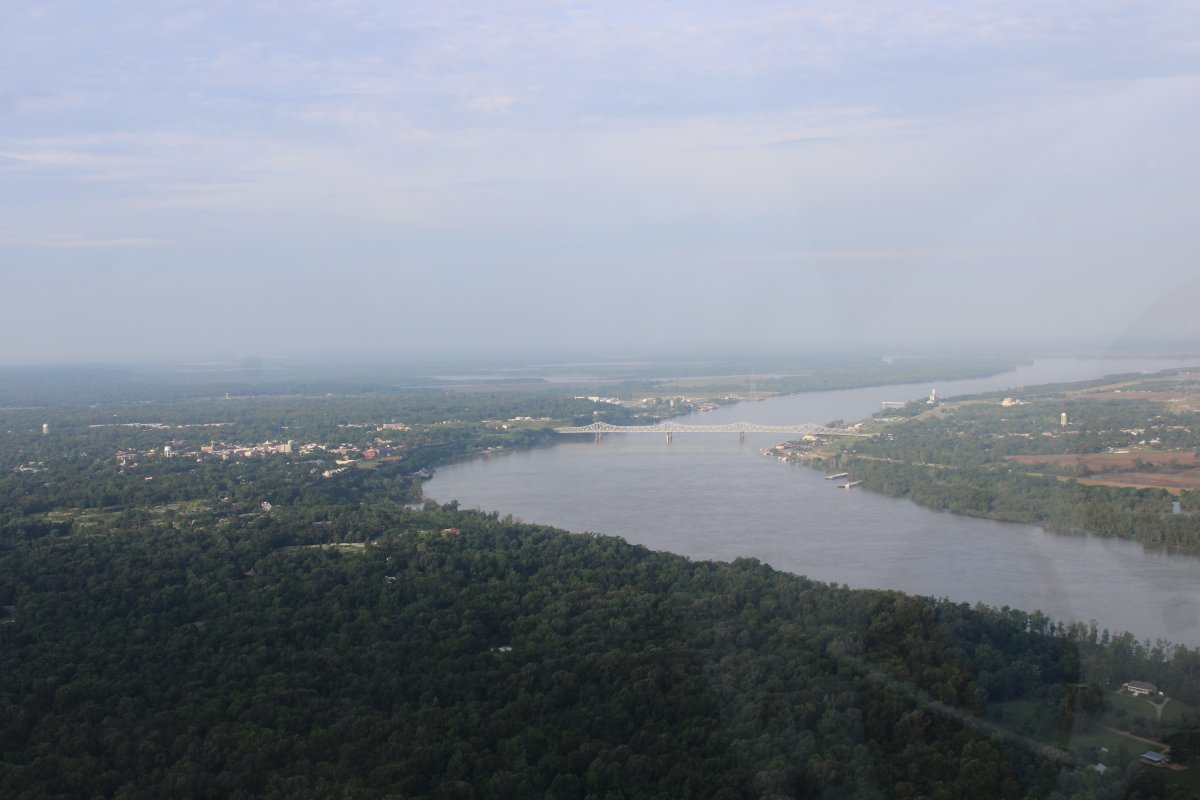
Here I am approaching Natchez from the north.
|
| |
 |
|
|
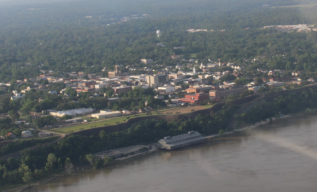
Looking at Natchez -- not a big town -- on the banks of the Mississippi River. A big casino is at the base of the cliffs at center.
|
| |
 |
|
| Heading south down the river at low altitude. |
| |
 |
|
|
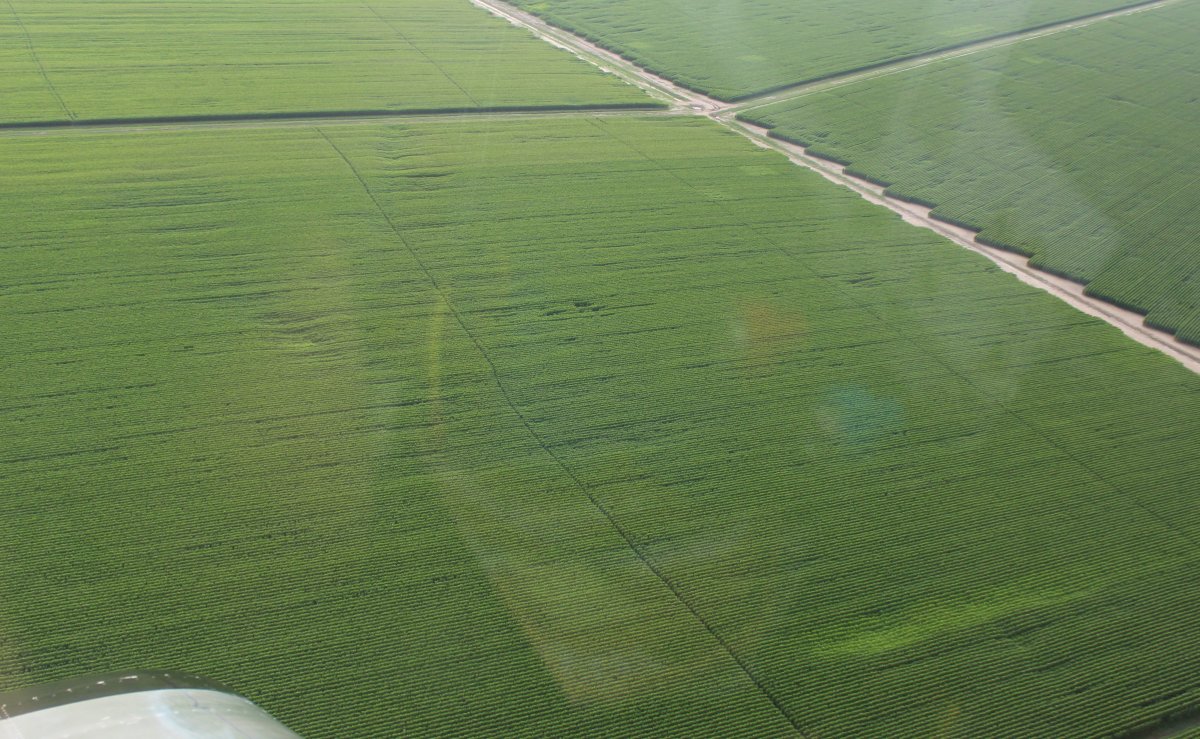
Along the river, huge fields of some kind of crop.
|
| |
 |
|
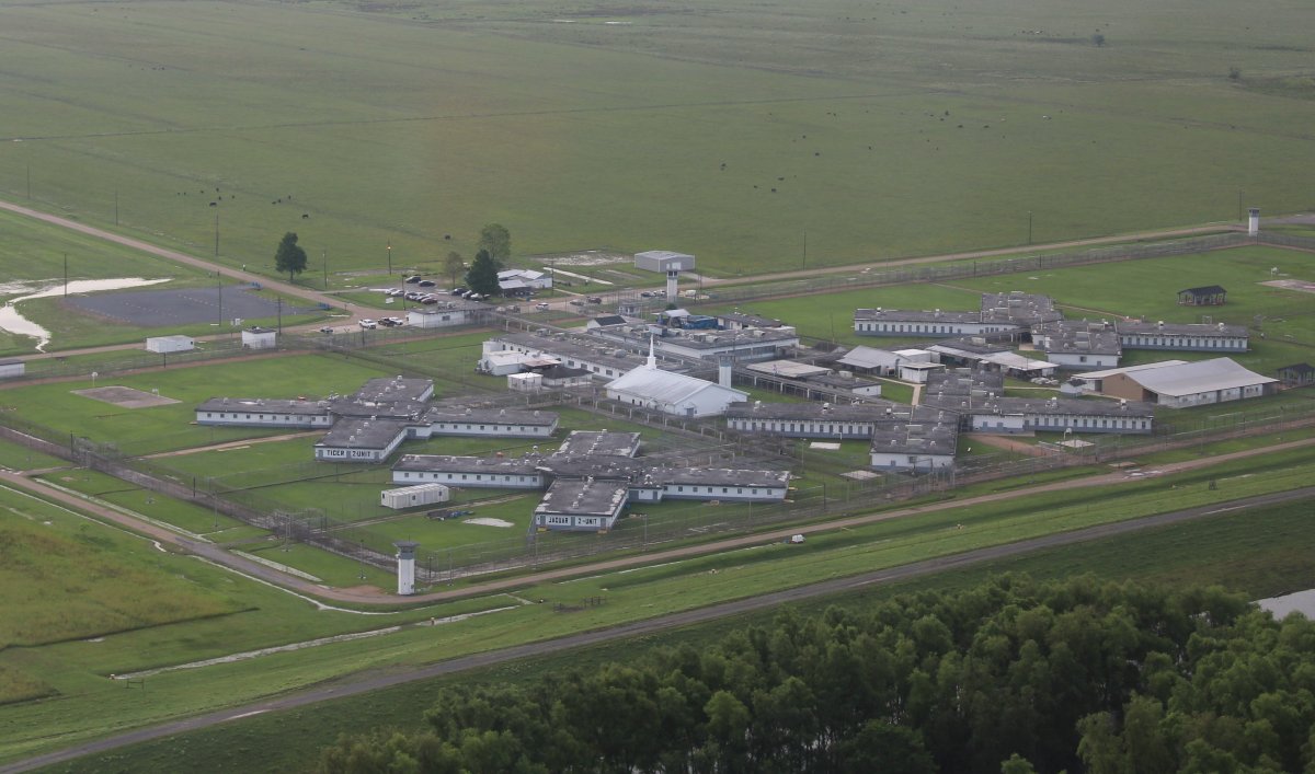
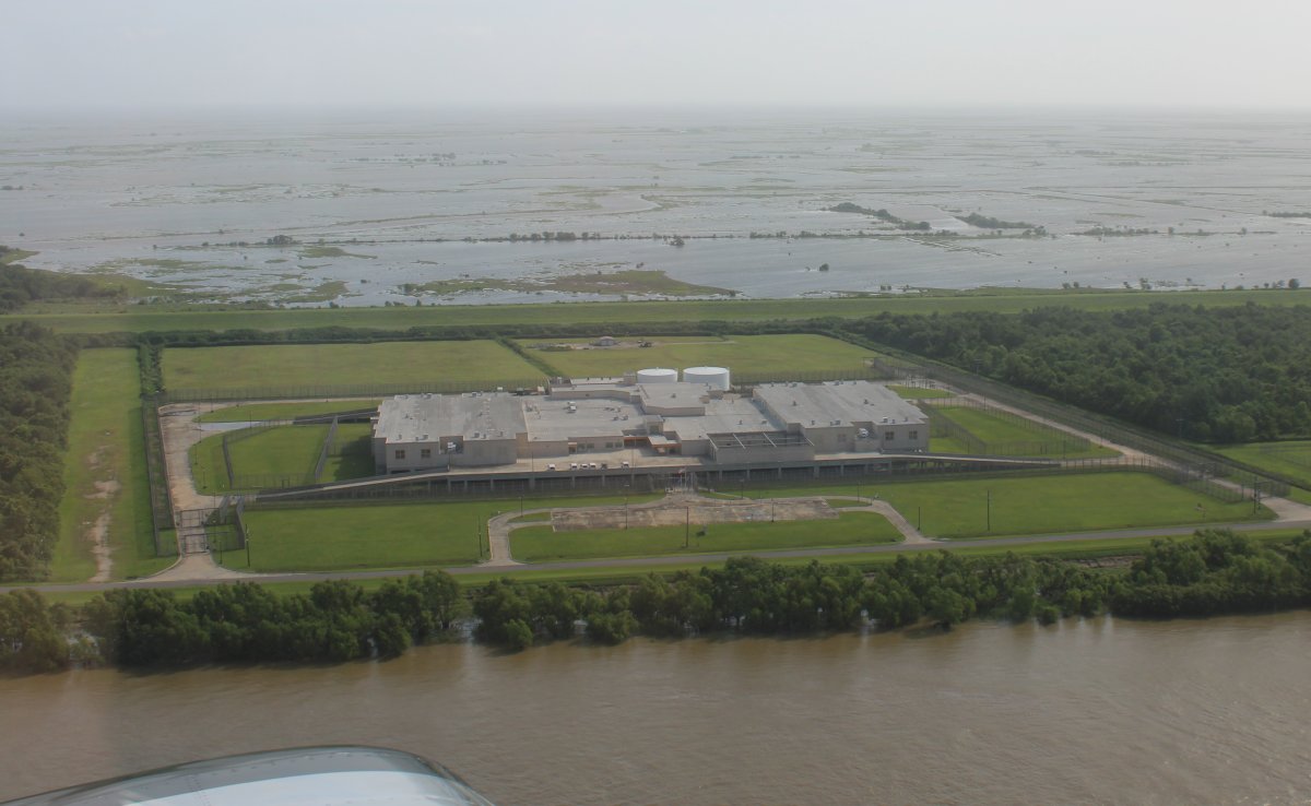
| Passing by a big prison complex. Notice the church in the middle. When I fly by prisons, I always think about the sheer freedom I have in my plane compared with what life is like down there on the ground inthe prison. |
| |
 |
|
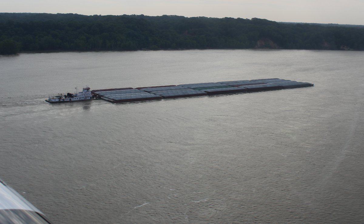
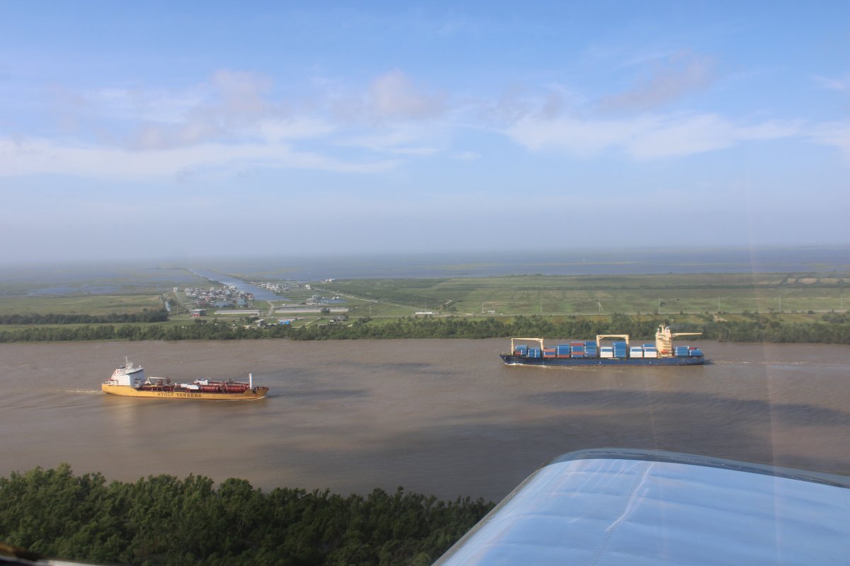
| A tug pushing 30 barges down the river. |
| |
 |
|
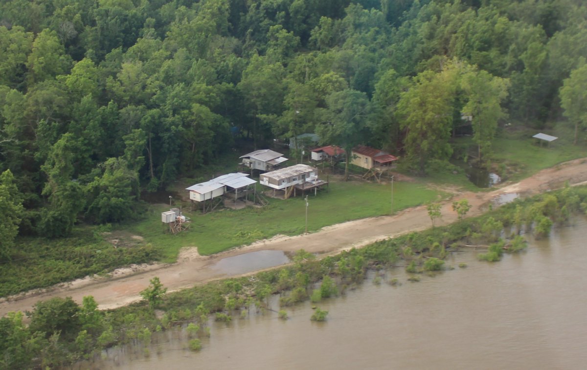
| Waterfront property! |
| |
 |
|
|
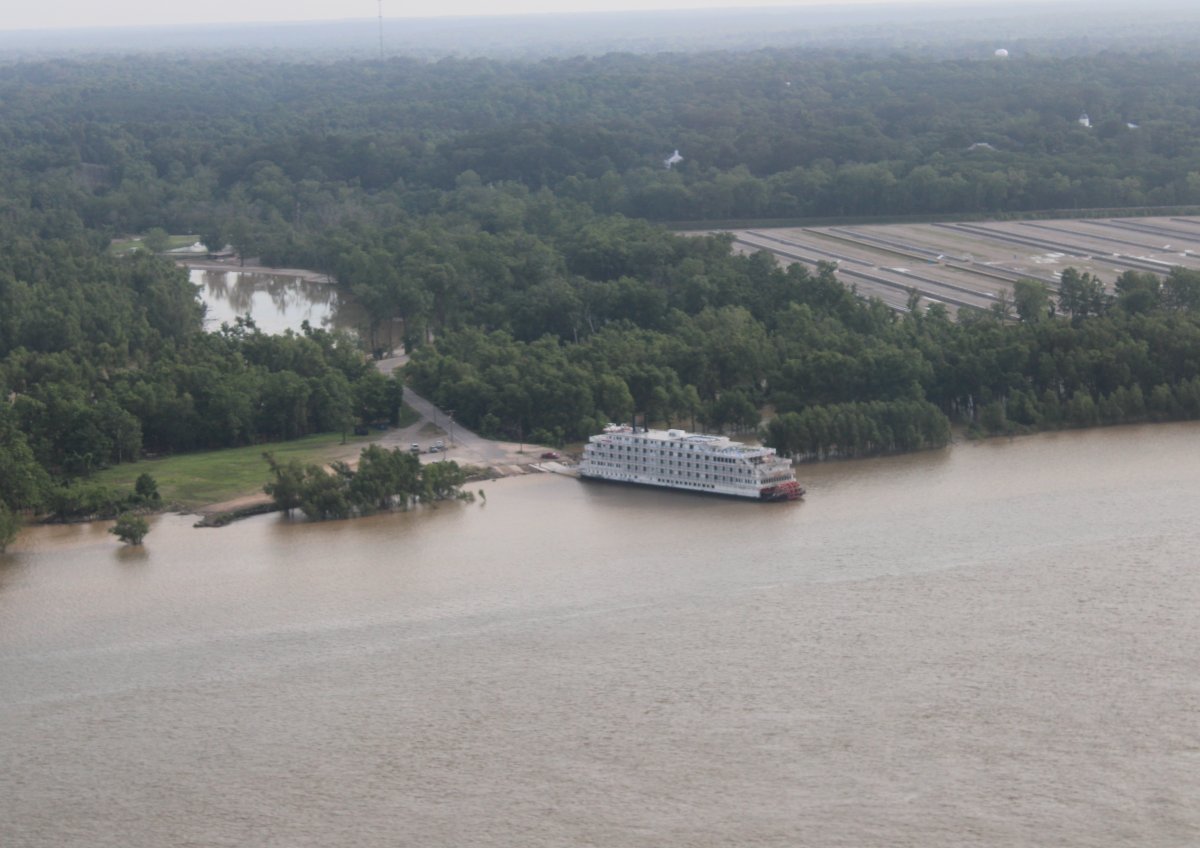
A steamboat tied up to the riverbank.
|
| |
 |
|
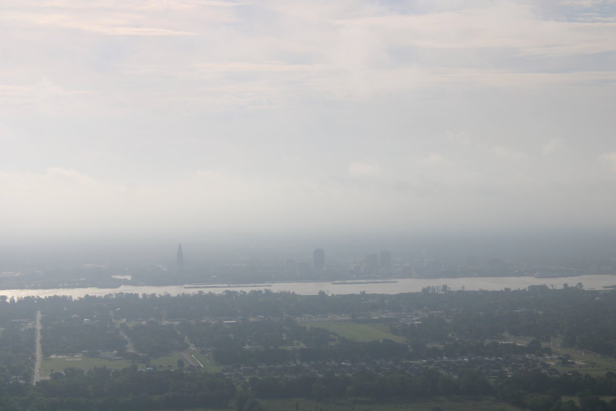
| Looking at Baton Rouge, Louisiana through the haze. Baton-Rouge Metro airport at the north end of the city has Class C airspace so I had to get off the river for a short time. |
| |
 |
|
|
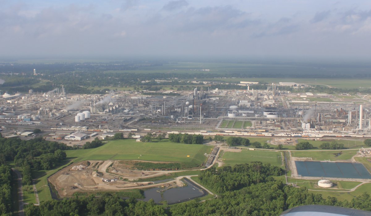
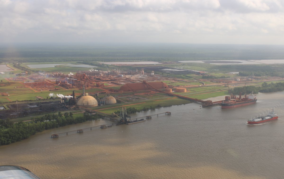
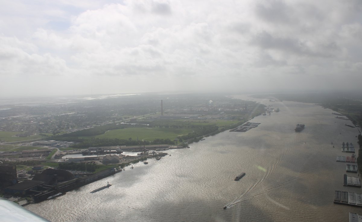
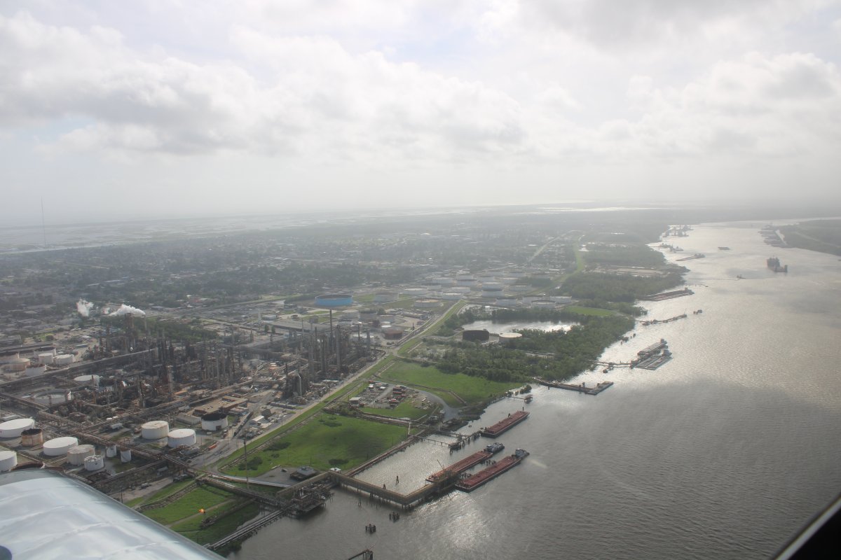
Once south of Baton Rouge, I encountered many refineries and industrial plants along the river.
|
| |
 |
|
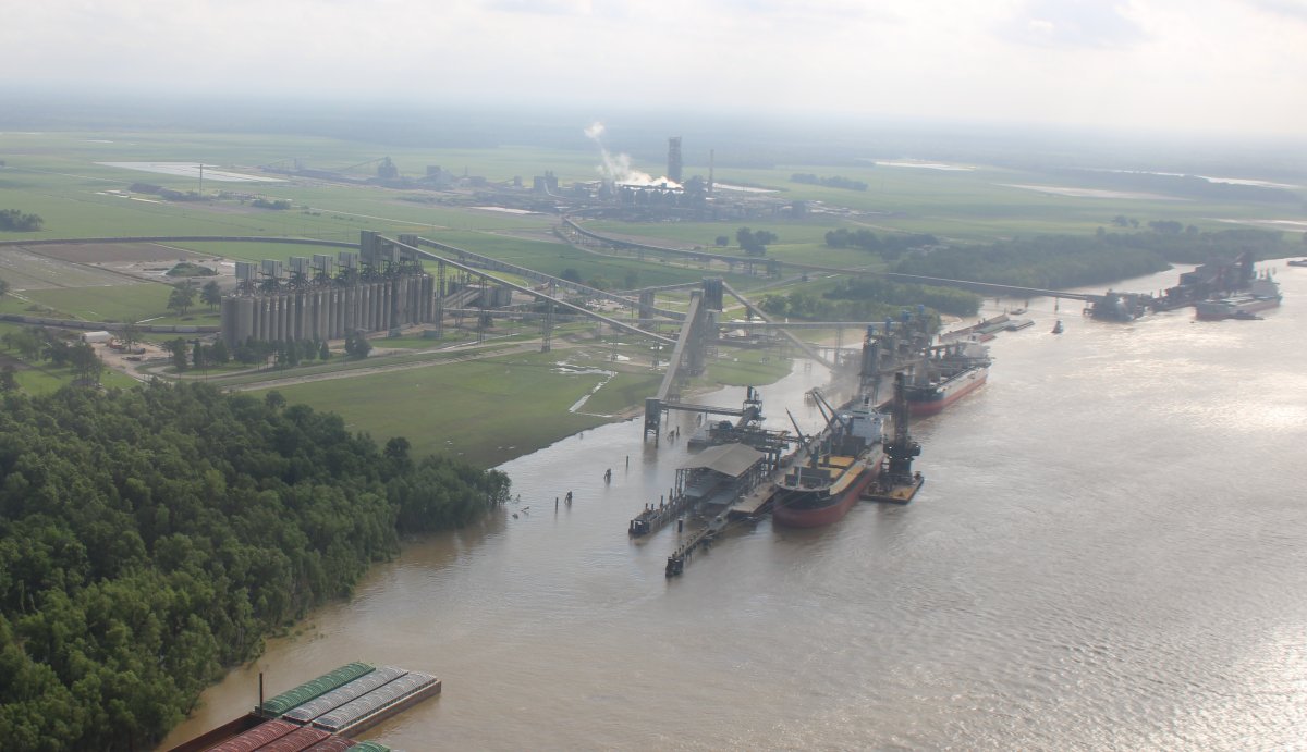
| Loading up the ships with grain or whatever. |
| |
 |
|
| |
| |
 |
|
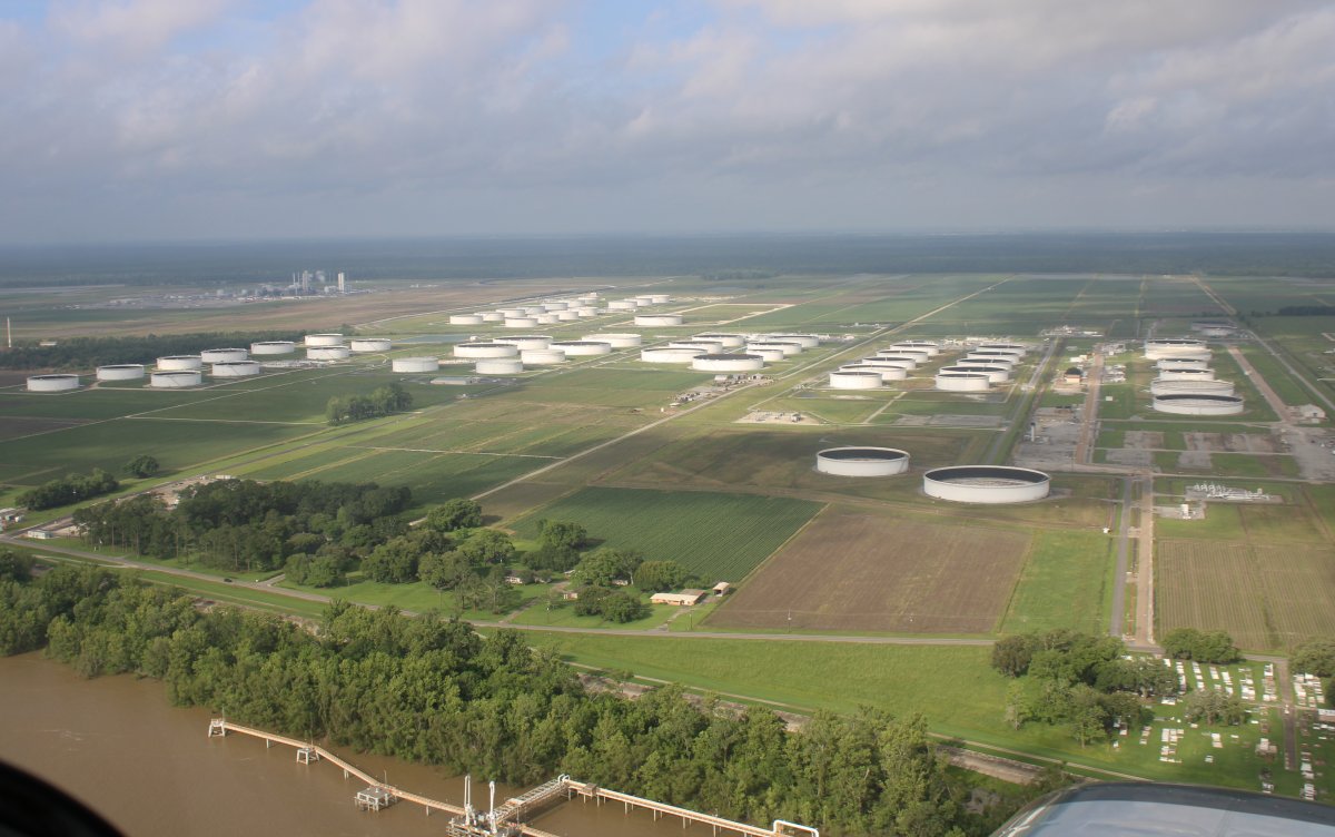
| A large oil storage complex. |
| |
 |
|
|
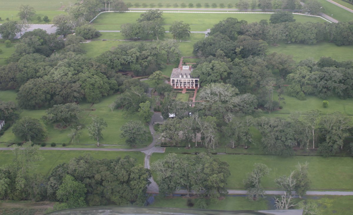
Looking down at the famous Oak Alley plantation. Because Lynnette and I had driven past it in February -- we did not tour it because it was raining hard -- I knew what to look for from the air.
|
| |
 |
|
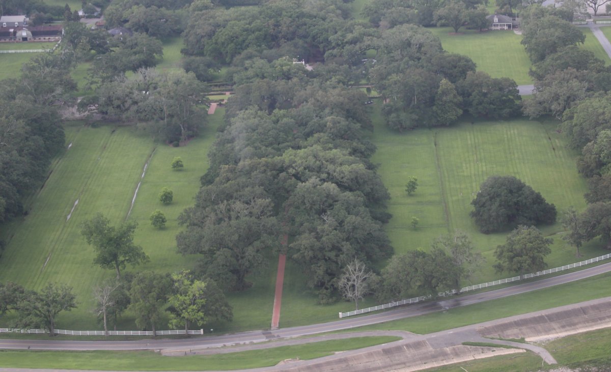
| The oak alley itself is below but not so striking from the air as it is on the ground. |
| |
 |
|
|
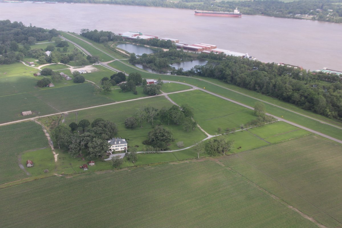
Another old plantation house at lower left? The road to the right is known as River Road; many plantations were along it back in the Antebellum era: a period in the history of the Southern United States from the conclusion of the American Revolutionary War (1783) until the start of the American Civil War in 1861.
|
| |
 |
|
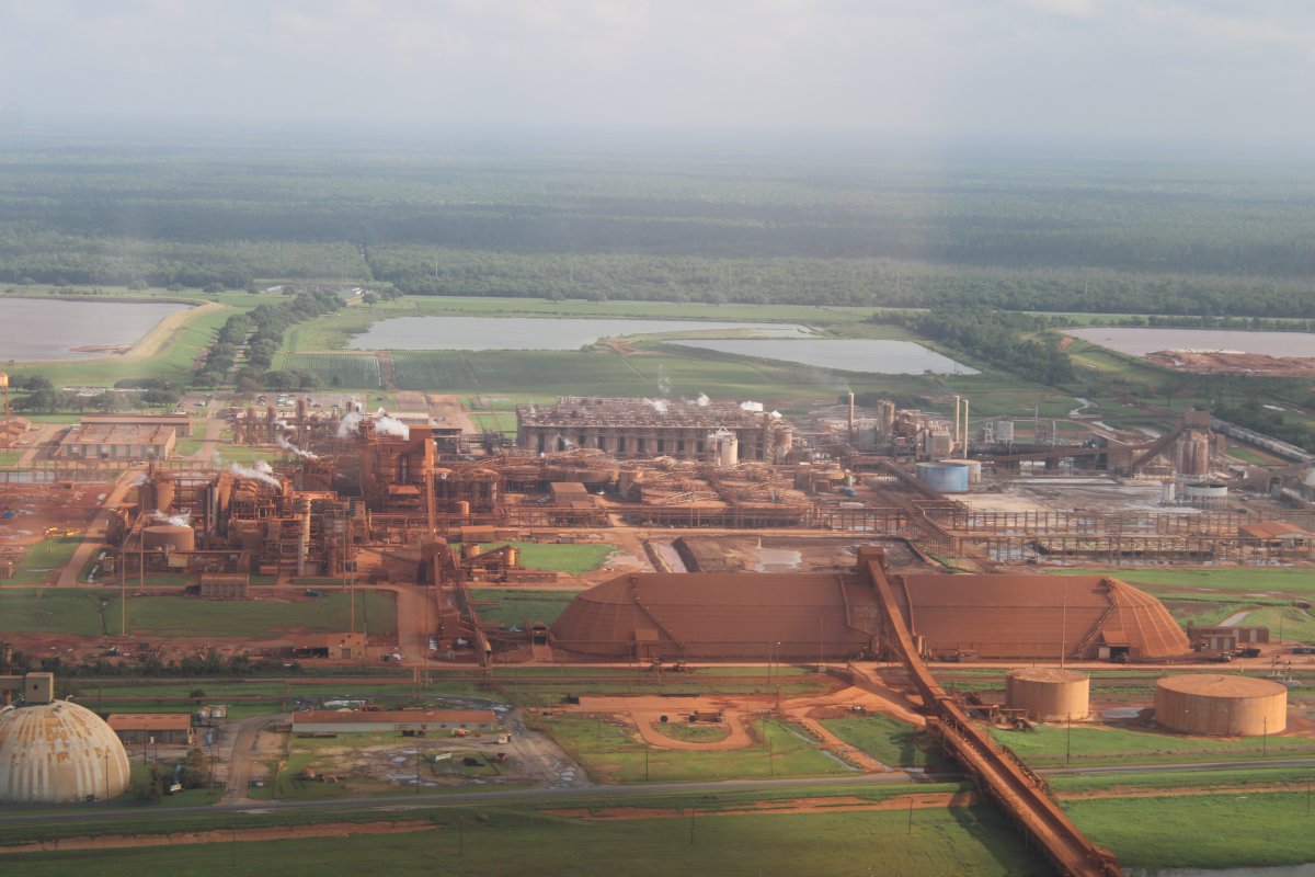
| I have no idea what this industrial site produces but it is very red. |
| |
 |
|
| A closer look. |
| |
 |
|
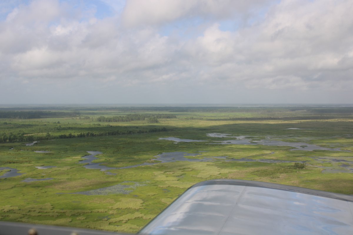
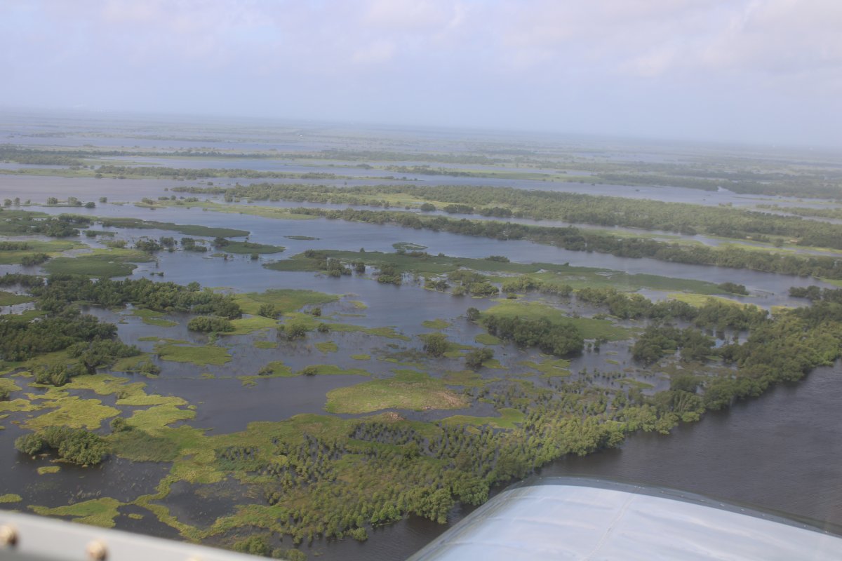
| As I approached New Orleans, I had to veer from the river to the south to avoid the International Airport's Class B airspace. It's all marsh south of the Mississippi River. Swamp? Bayou? Whatever they call it. |
| |
 |
|
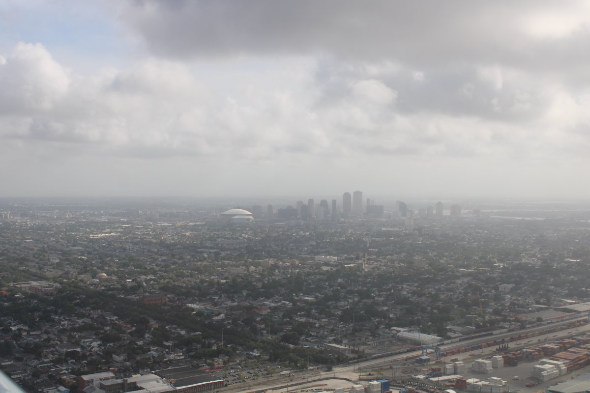
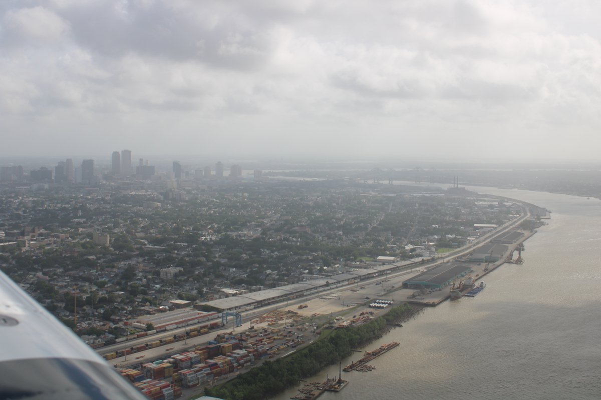
| Back on the river. And there it is: New Orleans with the SuperDome clearly visible. |
| |
 |
|
|
It's funny, until this year I just assumed downtown New Orleans faced north to big Lake Pontchartrain. But actually, it faces east to the Mississippi River. After all these years, I finally figure it out.
|
| |
 |
|
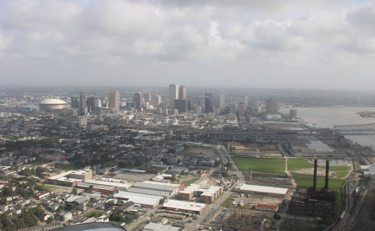
| Approaching downtown New Orleans. The French Quarter is on the other side. |
| |
 |
|
| About to pass over the Crescent City Connection Bridge. The World War II Museum is visible in the picture to the left if you know where to look. |
| |
 |
|
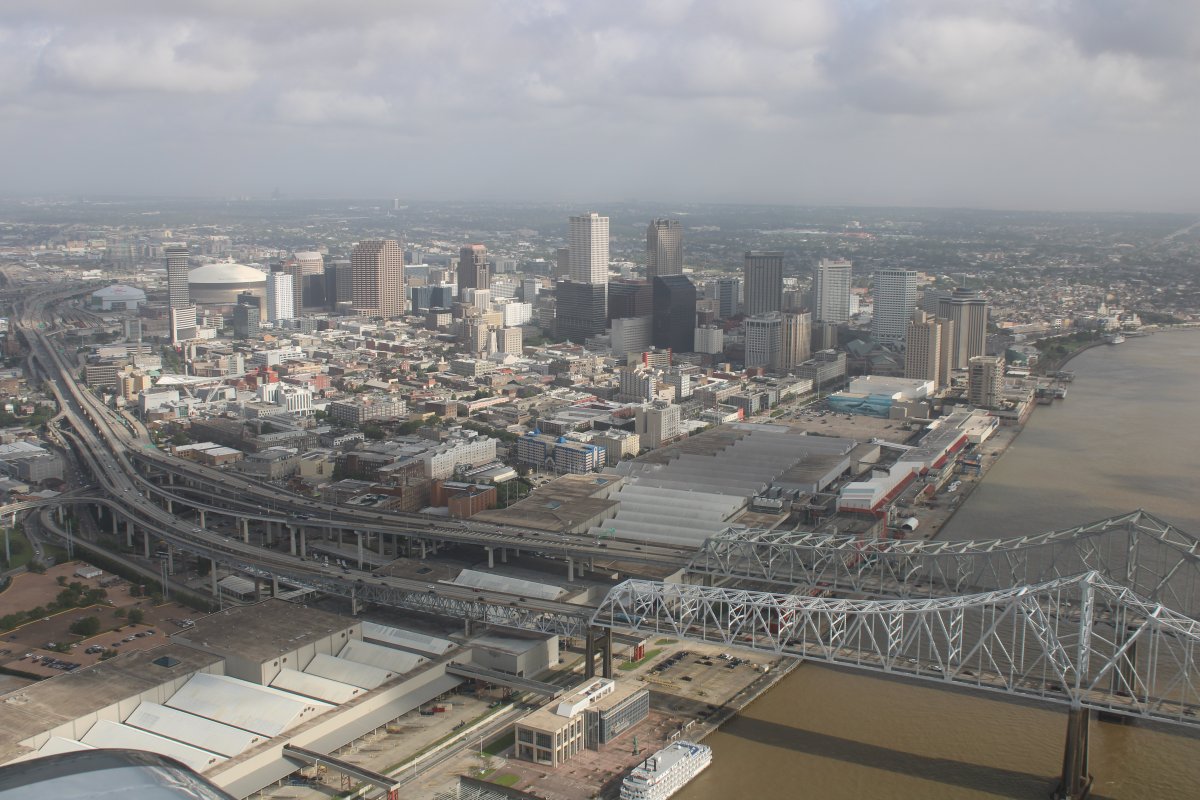
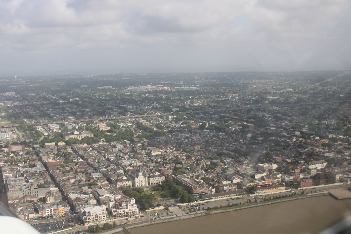
| Downtown New Orleans, looking west. |
| |
 |
|
|
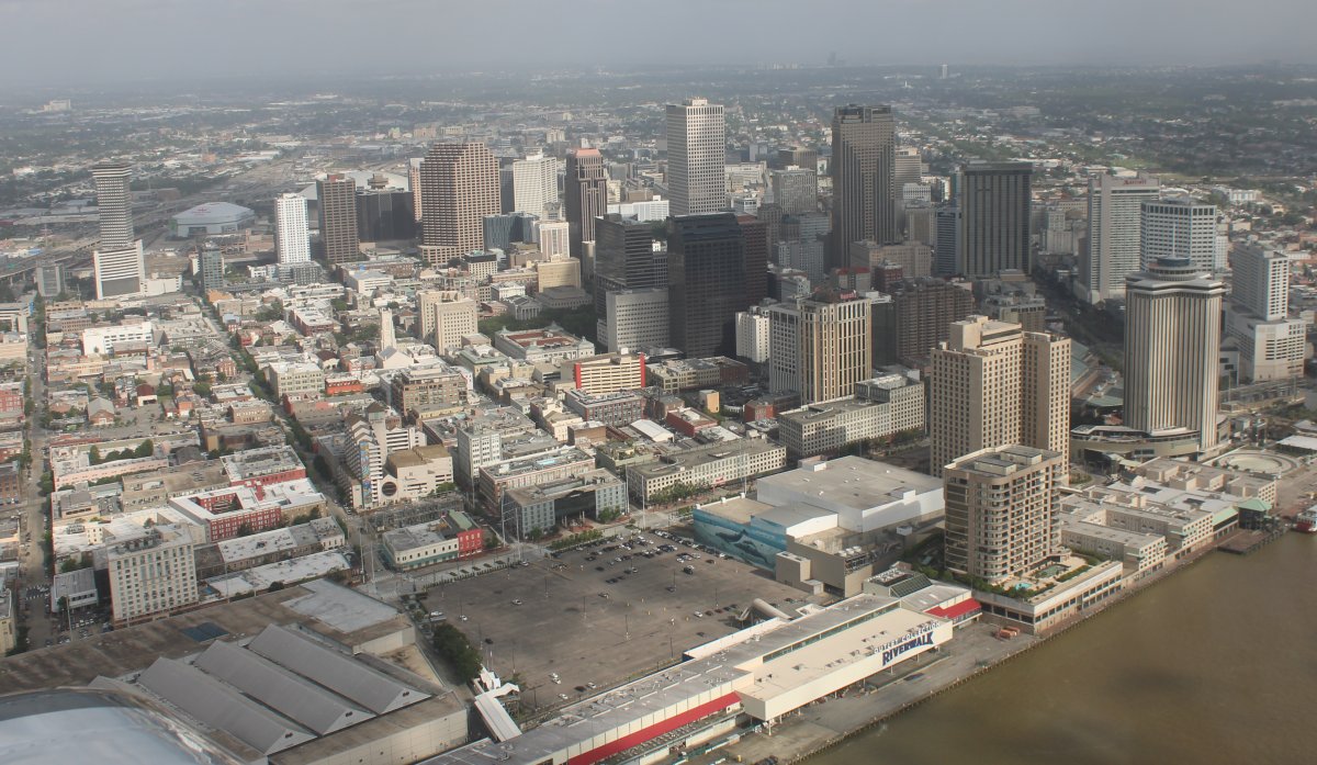
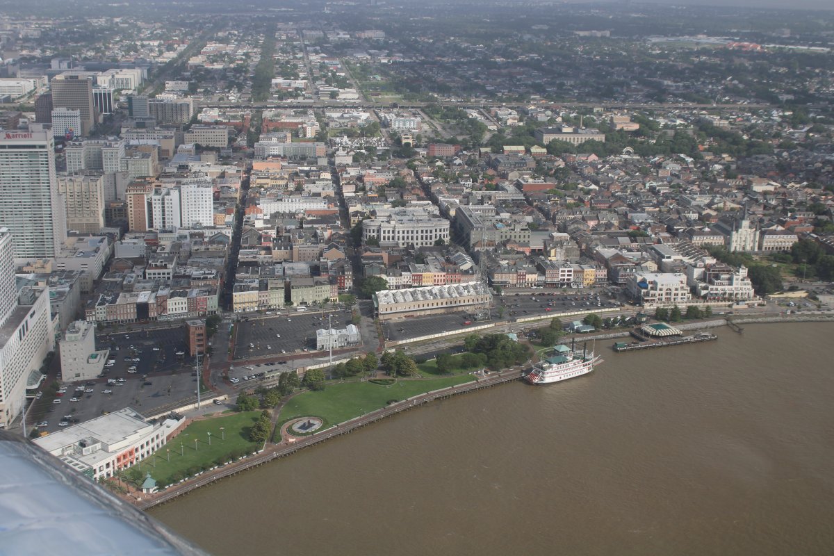
The famous French Quarter is on the right side of the image.
|
| |
 |
|
| Andrew Jackson square and the St. Louis Cathedral are at center bottom. Along with the Cafe Du Monde! |
| |
 |
|
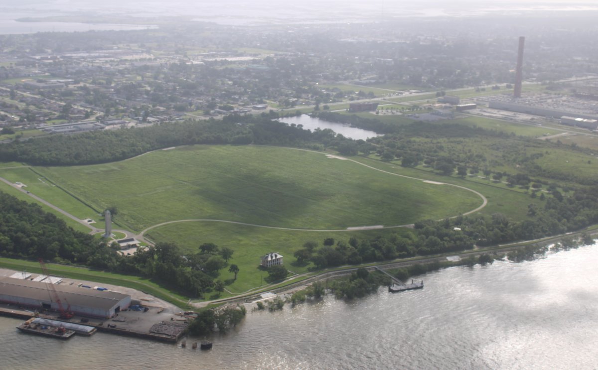
The river turns east and I look north down the Inner Harbor Navigation Canal which runs to Lake Pontchartrain. In front of me is the Ninth Ward, which was the area most devastated by Hurricane Katrina back in August 2005. |
| |
 |
|
| Heading east down the Mississippi River. |
| |
 |
|
|
And there it is -- site of the Battle of New Orleans.
The battle took place 18 days after the signing of the Treaty of Ghent, which formally ended the War of 1812, on December 24, 1814, though it would not be ratified by the United States until February 16, 1815, as news of the agreement had not yet reached the United States from Europe. Despite a large British advantage in numbers, training, and experience, the American forces defeated a poorly executed assault in slightly more than 30 minutes. The Americans suffered roughly 60 casualties, while the British suffered roughly 2,000. ... Wikipedia
The battle made Andrew Jackson's political reputation. ... Near the end of Jackson's presidency, a Congressman asked Jackson whether there was a point to the Battle of New Orleans. Jackson replied, “If General Pakenham and his 10,000 matchless veterans could have annihilated my little army, he would have captured New Orleans and sentried all the contiguous territory, though technically the war was over. Great Britain would have immediately abrogated the Treaty of Ghent and would have ignored Jefferson’s transaction with Napoleon.” ... Wikipedia
It was a battle the British under better leadership would have won. A Royal Navy Captain after the battle wrote "Pakenham should have used all the advantages of naval amphibious movement which Britain's supremacy at sea conferred and turned Jackson's position. .... All the other military men thought the assault should have been deferred, and then we should have performed the most scientific and beautiful operation without throwing away the most valuable soldiers of our country by an attempt bordering on desperation."
On the other hand, it was a battle that without the brilliant leadership of Andrew Jackson would have lost.
Finally, as the great historian Paul Johnson says "Thus was lost and won one of the decisive battles of history." "The effect of Jackson's victory was to legitimize the entire Louisiana purchase in the eyes of the international community."
|
| |
 |
|
| Continuing east. In 1812, this was all undeveloped land except for a few farms. It is not that now. |
| |
 |
|
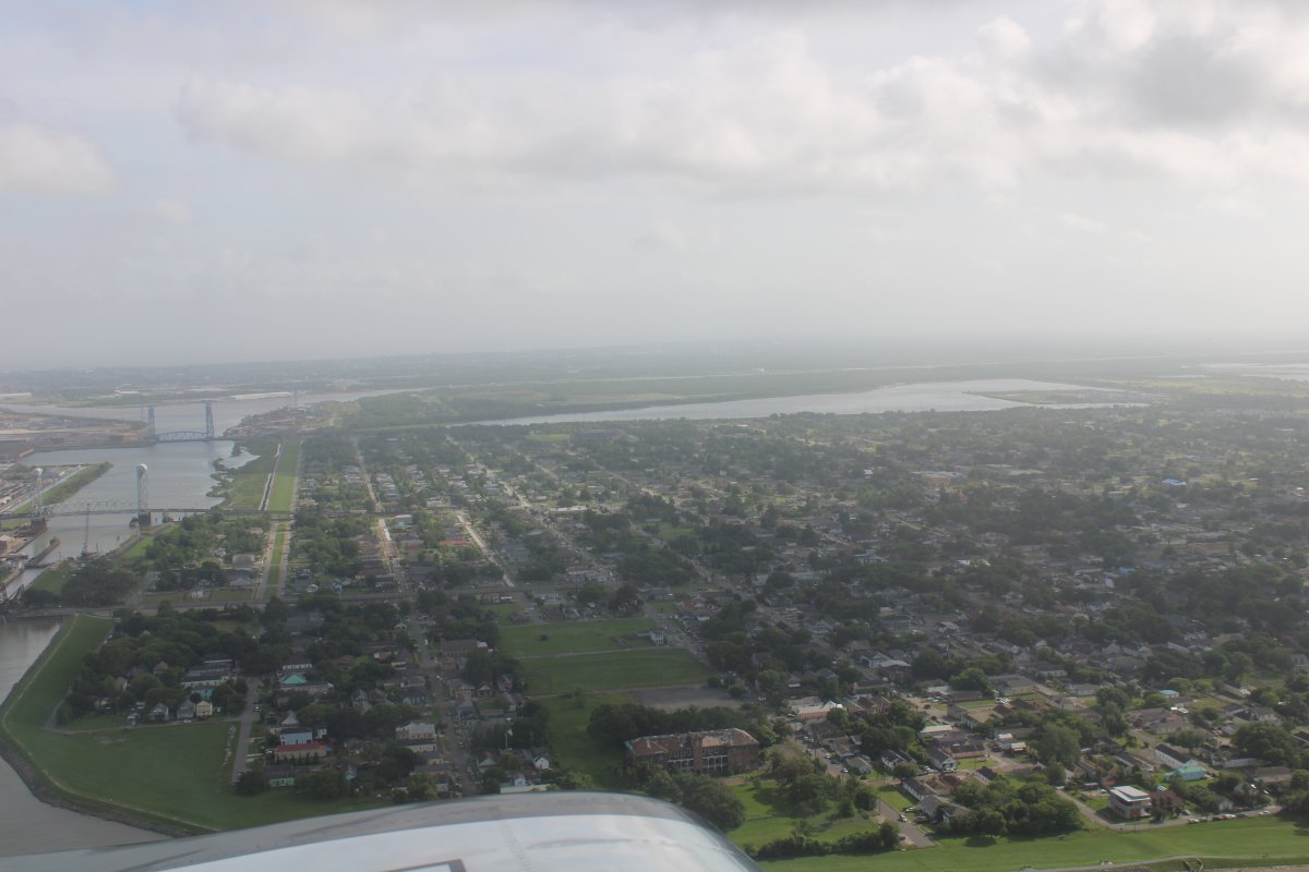
| The river turned to the south but again, I had to veer to the east to stay out of Naval Air Station New Orleans Class D airspace. |
| |
 |
|
|
|
| |
 |
|
| Back on the river, heading south. |
| |
 |
|
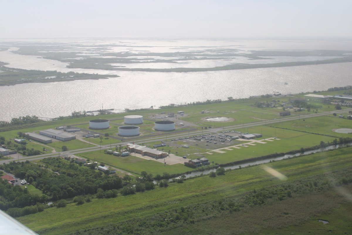
|
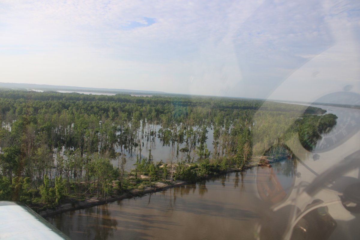
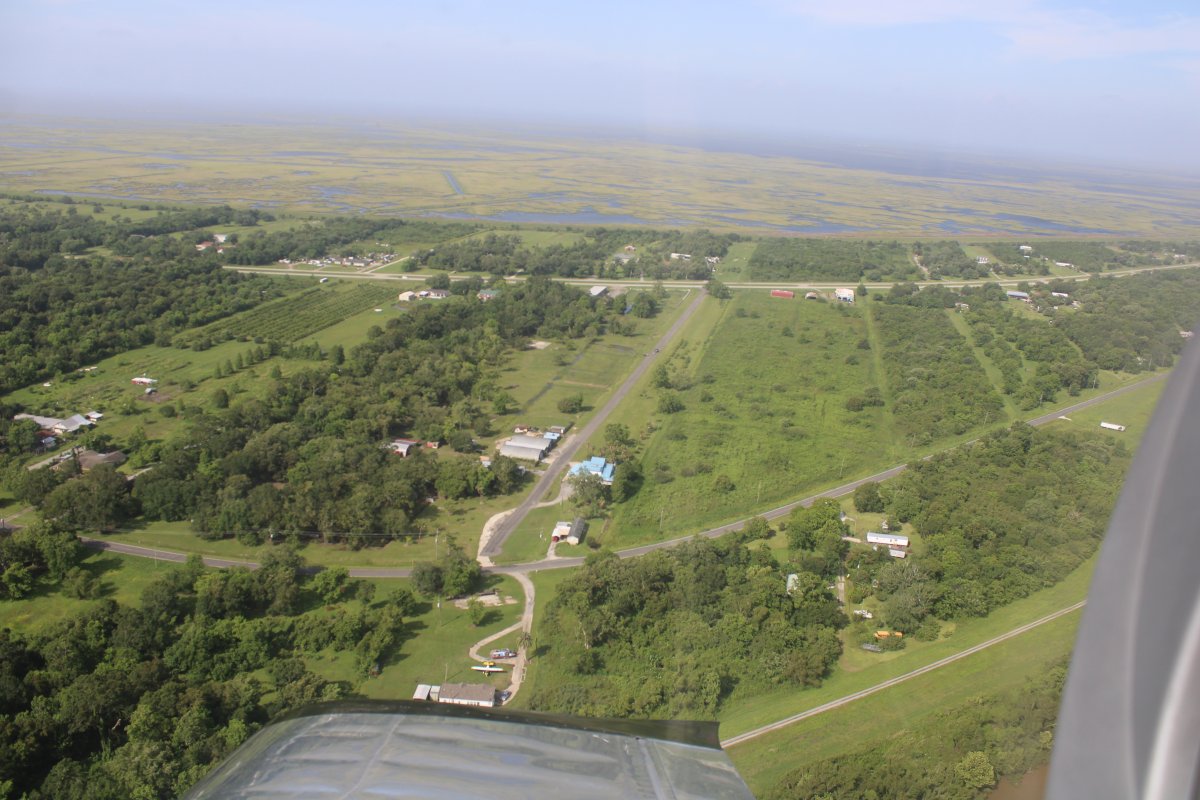
It's interesting how the river proceeds through almost a marshy sea on both sides. Notice the levee on the other side of this building.
|
| |
 |
|
| Passing by a paved private runway named Matidora. |
| |
 |
|
|
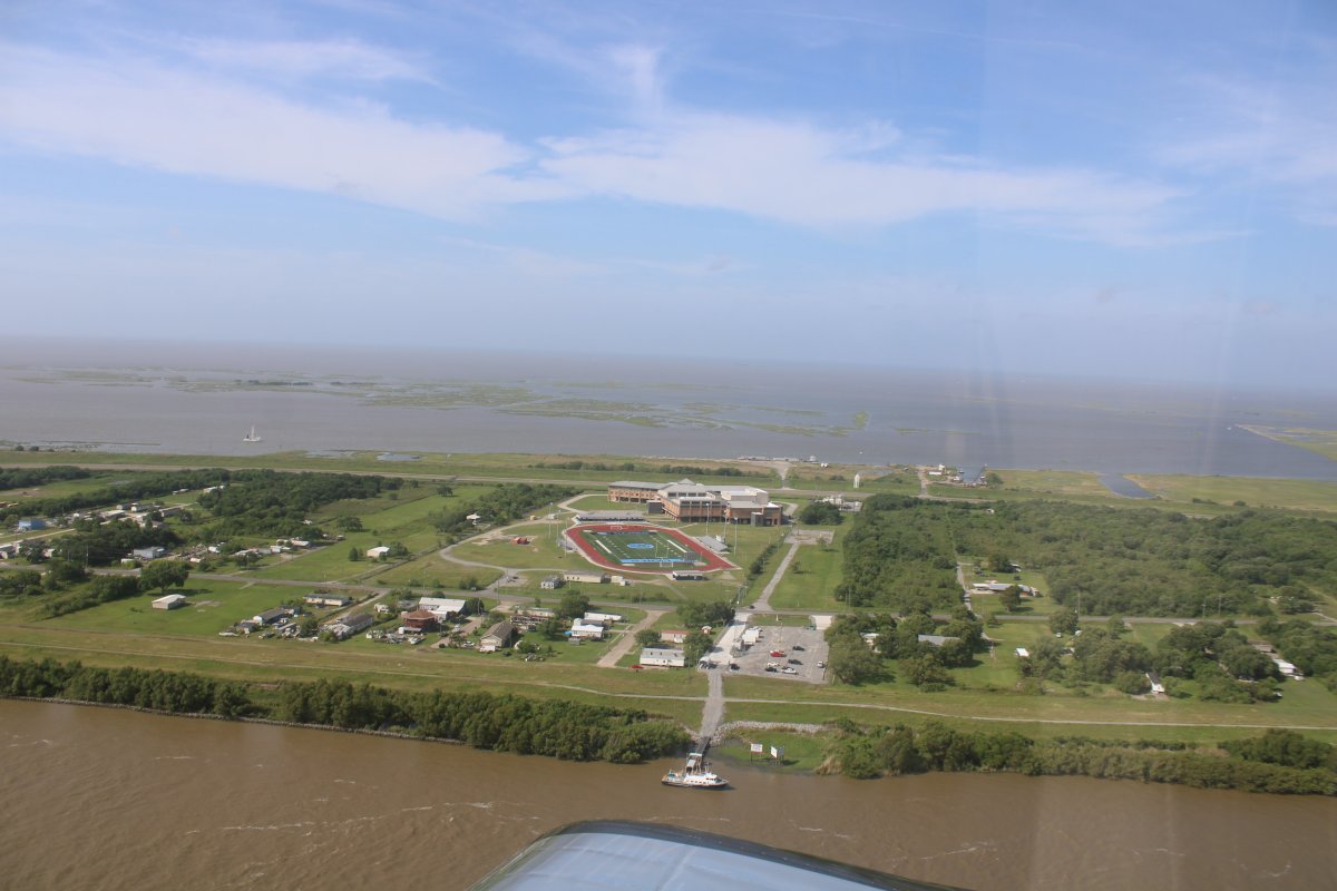
Passing by a high school.
|
| |
 |
|
|
By the parking lot are nine helicopter pads. I guess they use the helicopters to take workers and supplies to and from the offshore oil rigs.
|
| |
 |
|
|
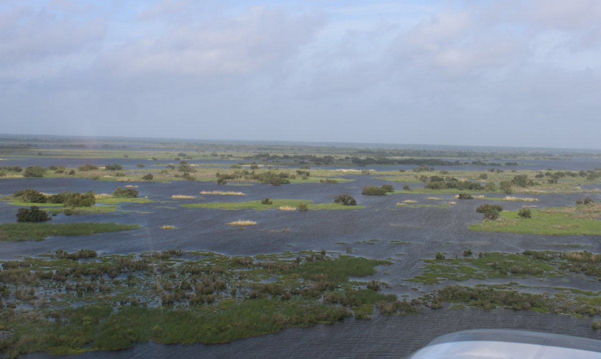
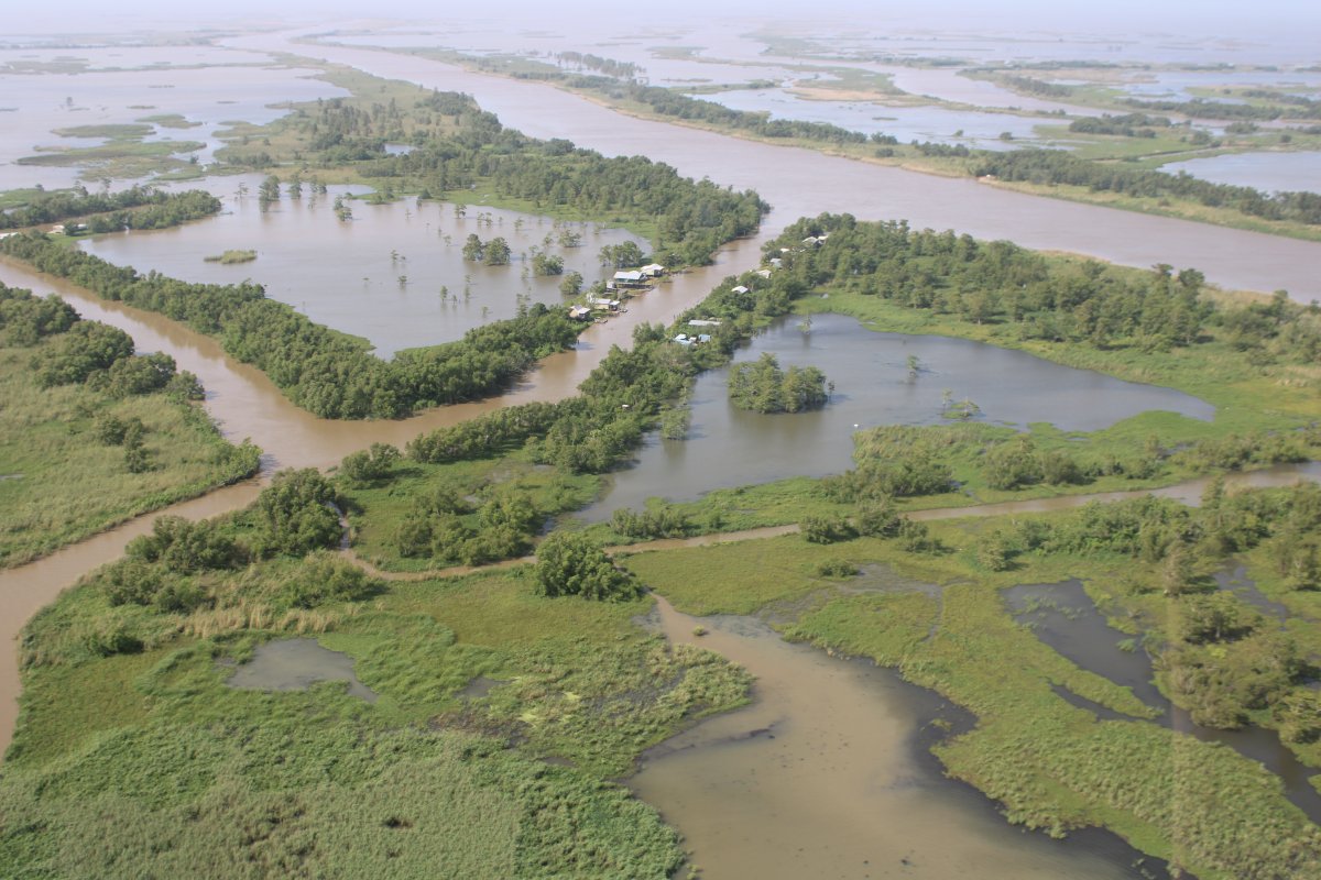
I flew to where the Mississippi River splits into three branches which empty into the Gulf of Mexico, then turned around and headed west northwest over the marshes to South Lafourche Airport.
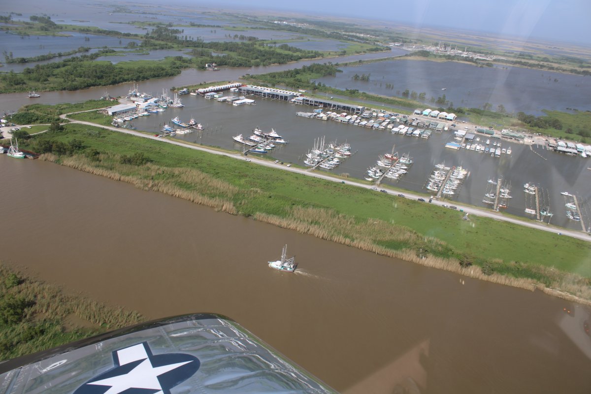
Here I'm passing a little fishing village.
|
| |
 |
|
| A big marina of fishing boats. |
| |
 |
|
| Lot of water out here south of New Orleans. |
| |
 |
|
|
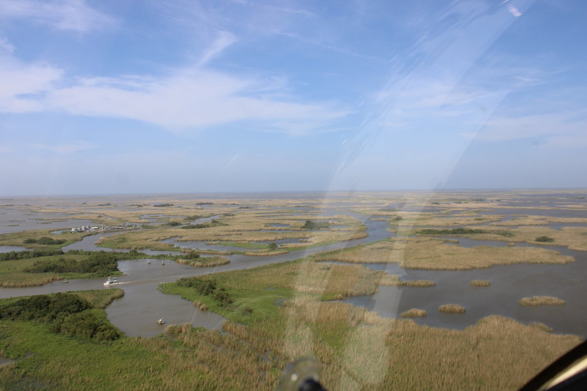
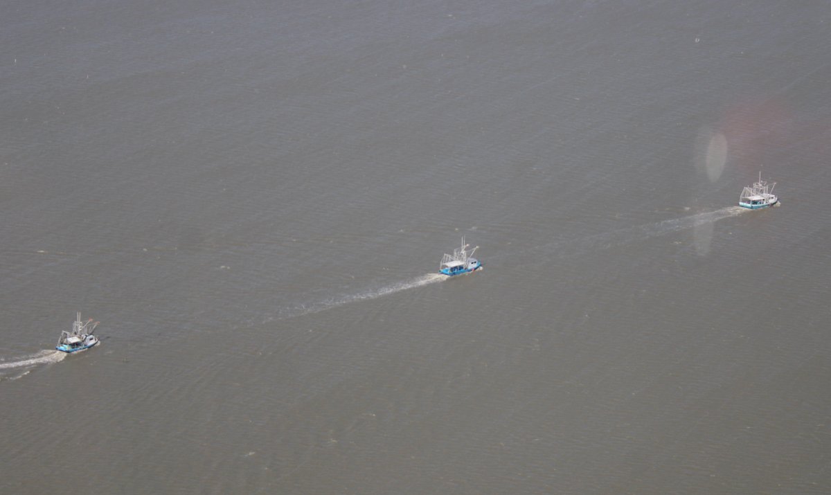
Three fishing trawlers in a column.
|
| |
 |
|
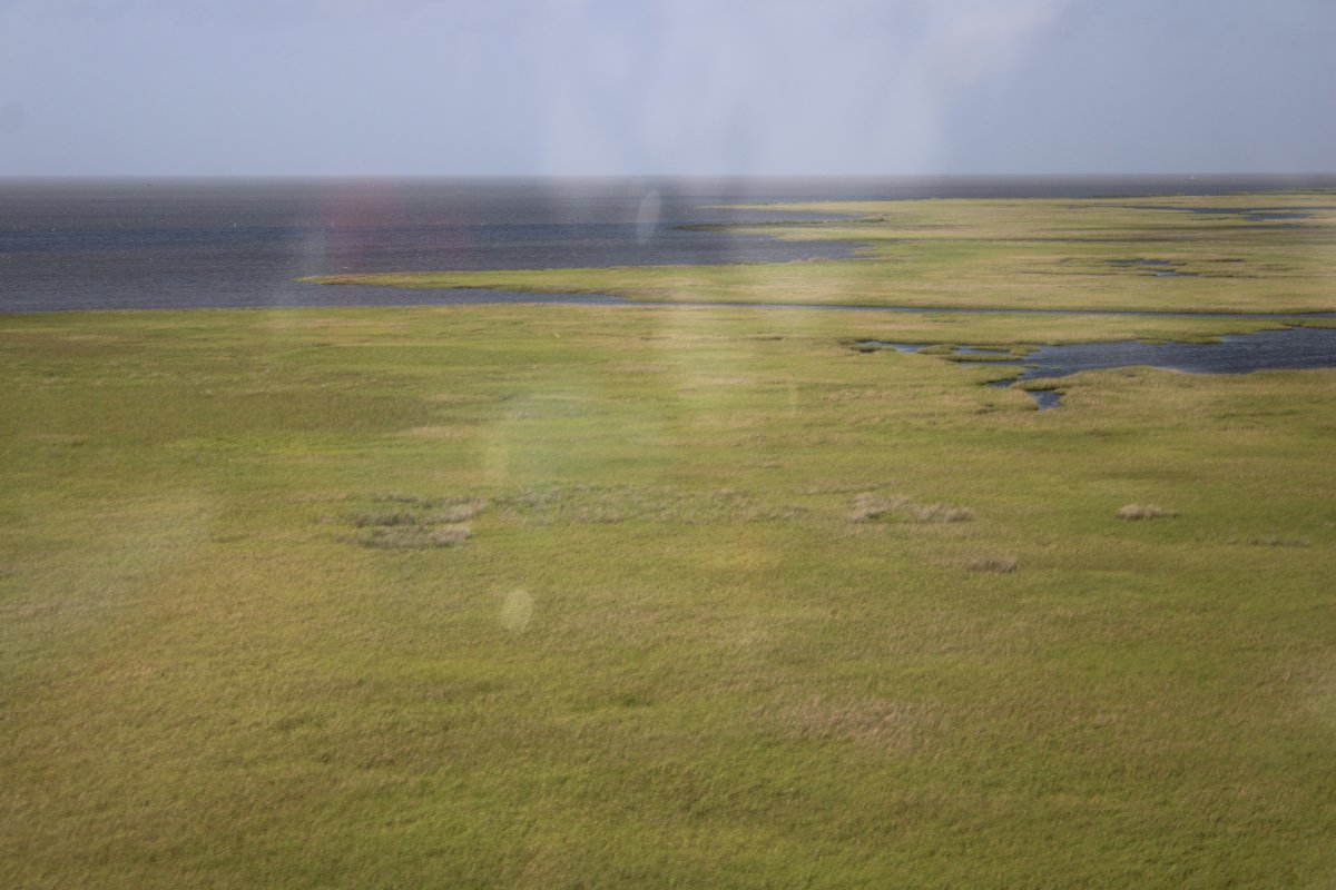
| Lots of marsh. |
| |
 |
|
|
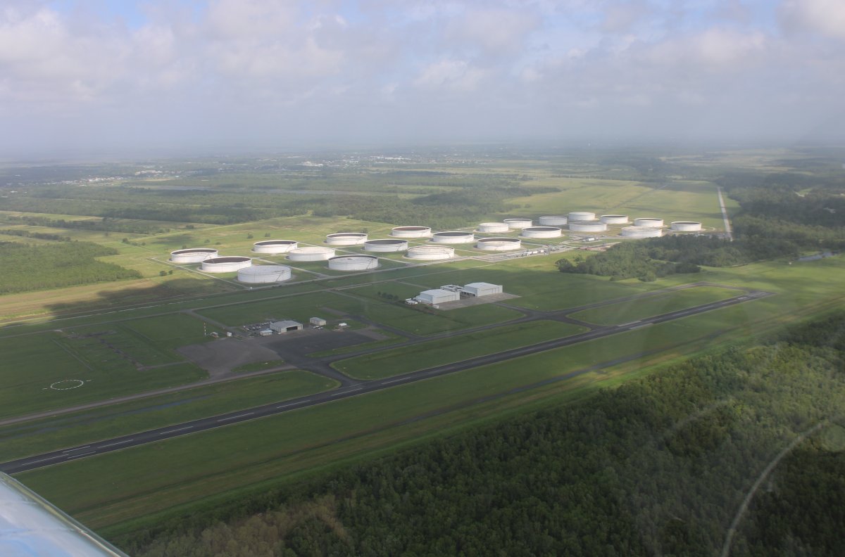
On a left downwind for runway 18 at South Lafourche Airport (KGAO). Notice the levee on this side of the runway just before the treeline. The airport manager said if it weren't for that levee, the airport would be underwater.
|
| |
 |
|
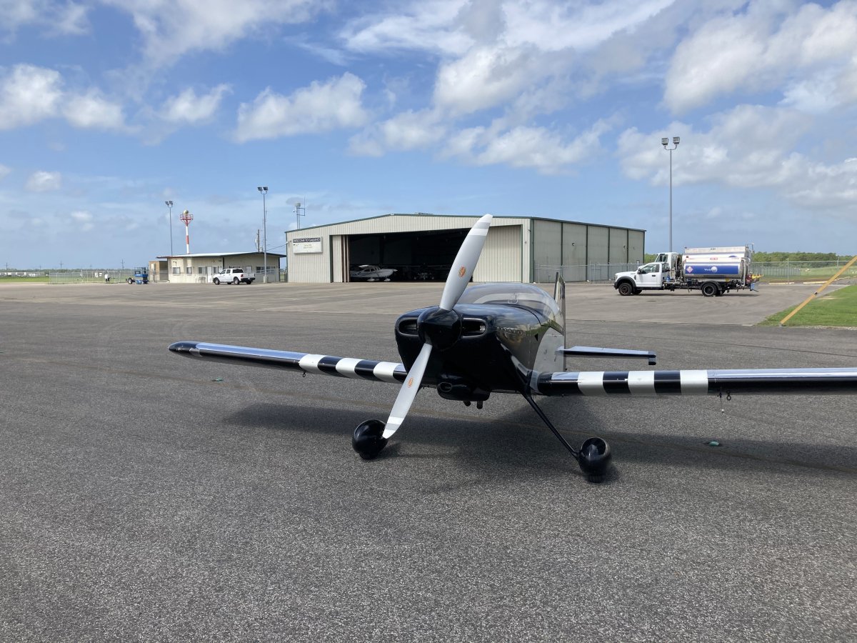
| Safe on deck at South Lafourche Airport. My original plan had been to stay overnight here last night instead of Natchez. They have a courtesy car and it would have been a good stop. But I was right not to fly here yesterday. The airport manager said the winds had howled yesterday and were perpendicular to the runway. Even today I landed with a noticeable crosswind. |
| |
 |
|
| |
|
|
|
|
|
|